Stretton derives its name from ‘tun on the street’ – the township on the Roman road leading from Middlewich to Warrington, known as King Street. There was also another Roman road east-west along the line of Stretton Road and Hatton Lane. A Roman coin has been found in the village.
The Parish of Stretton was formed on 15 July 1834 from the civil parish of Great Budworth.
The main area of the village was where we now call “Lower Stretton.” From the reign of Henry II, until 1744 Stretton belonged to the Starkey family, living at Stretton Hall (Over Hall) and Lower Hall (Nether Hall).
Stretton has always been an important agricultural village, fortunate with good soils. The chief crops have been potatoes, oats, wheat and turnips.


The population of Stretton remained constant from 1881 when it was 396 until 1939 when it was little different at 371.
Memories of Stretton is a personal account of the village written by May Bower in 1953, who was born at Walls Pit House (now The Hollow Tree) and married the village doctor. It paints a vivid picture of life in Stretton around 1890 during her childhood.
After so many years of relatively stable numbers the greatest change in the village has occurred in the last 50 years. A major change that divided the village and realigned the roads in Stretton was the construction of the M56. Construction started in 1968 and the section between J9 -J11 opened in 1971. These maps on the Parish Council website show the extent of Stretton, and how the roads used to run before the M56 cut the village in two.
Up to this time, there were two major roads out of Stretton: Tarporley Road and Northwich Road. Tarporley Road swept south and to the west with Fir Tree Cottage on the east side of the road. It’s now on the west side of the road. Northwich Road went south from St Matthew’s Church.
When the motorway was built, Tarporley Road was diverted to the roundabout as was the road to Lower Stretton which has now been renamed Spark Hall Close. Until 2005 it was still possible to reach the roundabout from the old road (near the Stretton Fox), but in about 2000 they stopped people using it by car.
The second change was the large-scale building on land to the east of London Road in the 1990’s. As part of this development Pewterspear Green Trust was set up in March 1995 to maintain the area as a wildlife habitat and open space. The Pewterspear Green area includes sports pitches and a sports pavilion.

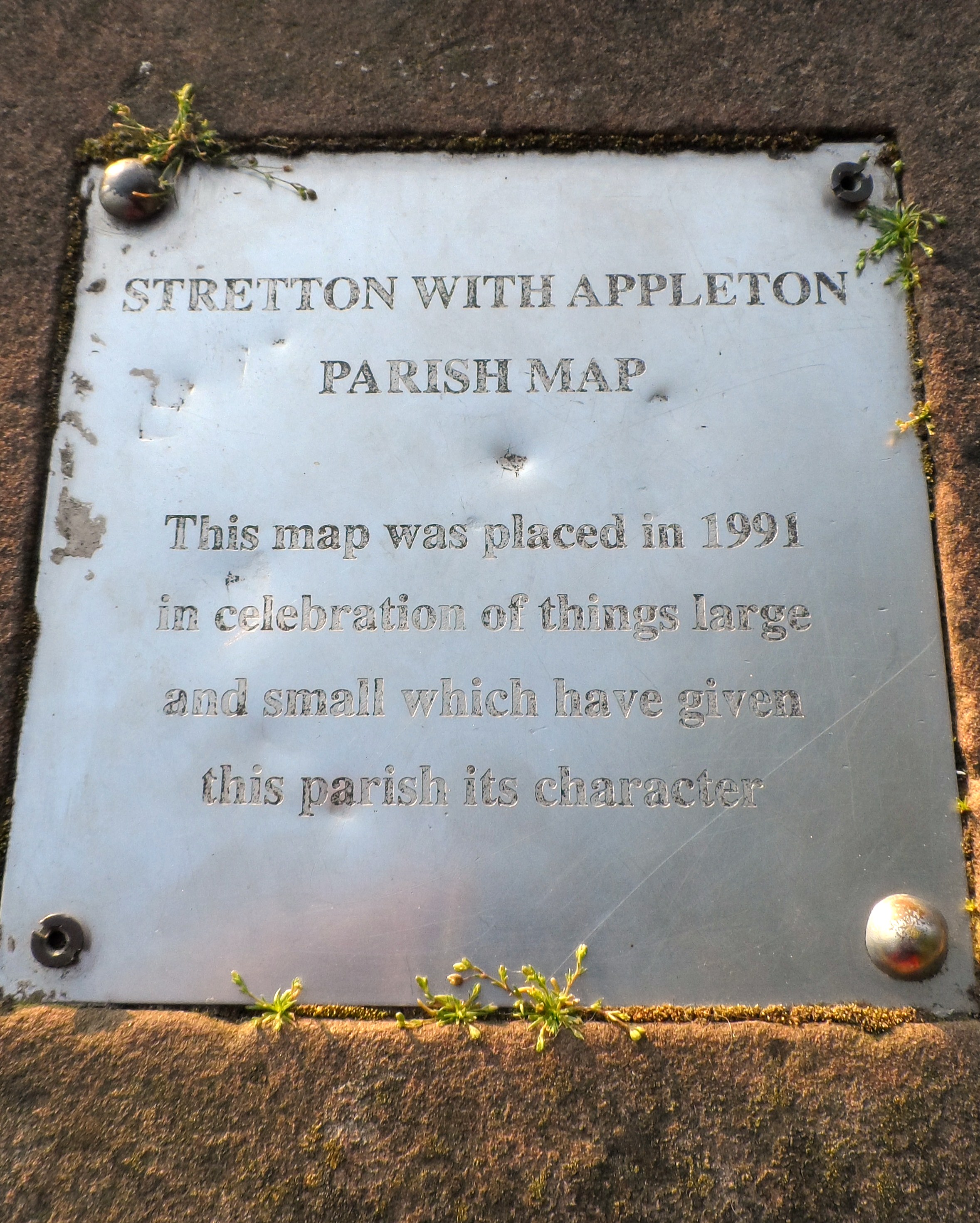
As a response by the village to the new development, a parish map depicting the natural and historical aspects of the village was created and has been placed on the footpath behind the church on the old Roman Road. A similar project was the creation of a large parish map which still hangs in the church today.
