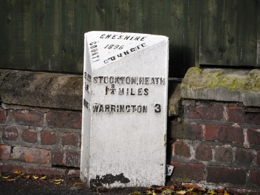
In times of yore, the parish boundaries were well known, through customs such as beating the bounds, and more locally Walking Day. However boundaries can change, and the last two properties in Hatton Lane are a good example – being originally in Appleton, but are now within Stretton.
In the 1990s the new housing estate built to the north and east of St. Matthew’s went across the parish boundary, and so began the blurring of boundaries. In August 2017 even members of the Parish Council were not exactly clear where the boundary lay, and a straw poll among friends living in the Stretton part of the Pewterspear development believe they live in Appleton. This confusion around the boundary to the north of the village has been recognised by the Parish Council who sought to give identify to Stretton through the purchase of new planters and signs. As evidence to the lack of local understanding, whilst the signs were being installed, questions were raised why a Stretton sign was being put up in Appleton. Shortly afterwards the signs were defaced.
So where is this leading? Just before Christmas we received a circular from the local councillors who were concerned that the names of the new roads in Stretton were named after golf courses in Scotland – and claimed none of which bore any relevance to the local area and were associated with elitism. This has just made the local newspaper: Anger over decision to name streets on Stretton development after golf courses.
So are we right to be worried about a loss of a “sense of place.” There are many definitions of a sense of place – indeed over 165,000 academic papers, but one of my favourites is by American Dr Thomas A Woods:
People develop a “sense of place” through experience and knowledge of a particular area. A sense of place emerges through knowledge of the history, geography and geology of an area, its flora and fauna, the legends of a place, and a growing sense of the land and its history after living there for a time.
The feel of the sun on your face or the rain on your back, the rough and smooth textures of the land, the color of the sky at morning and sunset, the fragrance of the plants blooming in season, the songs and antics of birds and the cautious ramblings of mammals are environmental influences that help to define a place. Memories of personal and cultural experiences over time make a place special, favorite objects that shape to your hand or body with use, songs or dances that emerge from the people of a place, special skills you develop to enjoy your area–these too help to define a place and anchor you in it. Through time, shared experiences and stories (history) help to connect place and people and to transmit feelings of place from generation to generation.
Naming roads in a new development is the responsibility of the local council which has a statutory duty and as a matter of course they do not consult with the parish councils or local groups due to possible time delays. However with new housing developments proposed for Stretton, here are a few thoughts of road names that take into account Woods’ sense of place:
History: names of people connected with Stretton:
School masters and mistresses: Smith, Hatton, Walton, Shawcross, Ellison, Boulton, Griffiths or Holden
Landowners or occupiers in 1846 (taken from the Cheshire Tithes Map): Wright, Dutton, Milner, Percival, Makin, Darbyshire, Gaskell, Davies, Whitley, Smith, Okell, Eaton, Williams, Ridgway, Crampton, Newton, Rowland, Massey, Done, Morrey, Lawson, Forrest, Barrow, Highfield
Other names associated with Stretton: Starkey, Bradshaw, Darwin, Scott, Mounfield
Previous vicars: Janion, Greenall, Cross, White, Pennell, Rowlands, Hall, (excluding Rev Dodd who left the parish under a cloud)
Geography: The seven counties which can be seen from the top of St Matthew’s church tower: Cheshire, Lancashire, Derbyshire, Staffordshire, (any more?)
Field Names taken from the 1846 tithe maps: Higher Hey, Little Heyes, Garden Meadow, Siddens, Pinfold, Aspells, Bradley, Brook Meadow, Croft, Rick Field, Marl Field, Stockley, Hollin Hedge, Robin’s Meadow
Local flora and fauna: Gorse, Alder, Robin, Oak, Ash, Thorn, Rowan,
Obviously, not all names are suitable and you won’t be surprised that there are street naming conventions in place, so perhaps Sludge Field and Boggy Field, wouldn’t be as popular as some of the others. And whilst it would have been lovely to celebrate the life of the village blacksmith, Savage Place, might not sell as many houses, as say Darwin Close.
These are a few suggestions to get the grey matter working after all the turkey, so if you’ve got any more, please do add below.